How Does GPS Work? Understanding the Technology Behind Modern Navigation Systems

We rely on GPS every day, whether we're navigating a road trip, tracking a package, or finding the nearest coffee shop. It's become such a natural part of our lives that we rarely stop to think about how it actually works. But behind this seemingly simple technology lies a fascinating system of satellites, signals, and precise calculations.
What Does GPS Stand for
GPS stands for Global Positioning System. It's a satellite-based navigation system developed by the United States Department of Defense. The system became publicly accessible in the 1980s.
The name reflects its global capability to determine precise locations anywhere on Earth. With 24+ operational satellites in orbit (current constellation of GPS satellites), GPS forms a network that transmits location and time data. This data supports applications like navigation, mapping, and real-time tracking.
Who Invented GPS
GPS, as we know it today, was initially developed by the United States Department of Defense. In the 1960s, Dr. Ivan Getting and Roger L. Easton played pivotal roles in its creation. Dr. Ivan Getting, an aerospace engineer, contributed to the conceptual framework for positioning systems. Roger L. Easton, a scientist at the Naval Research Laboratory, developed key technologies like accurate atomic clock timing and satellite synchronization.
In 1973, the GPS project formally began under the name NAVSTAR. The breakthrough occurred through collaboration between military engineers and scientists. While it originated as a military tool, civilian applications expanded after the system became fully operational in 1993.
How Does GPS Work
GPS determines a device's location by calculating its distance from multiple satellites orbiting the Earth. This sophisticated process, known as trilateration, involves the use of signals transmitted from these satellites to a GPS receiver, such as the one in your smartphone or car navigation system. To understand how this works, it’s essential to break down the key components and steps involved in the process.

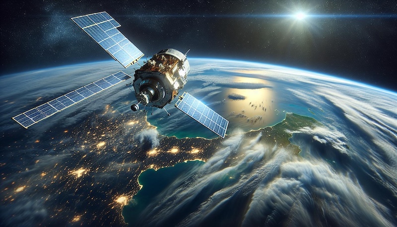
The GPS system is a network of at least 24 satellites (current constellation of GPS satellites) that orbit the Earth at an altitude of roughly 12,550 miles. These satellites are strategically placed and constantly moving so that any point on Earth is always within range of several satellites. Each satellite is equipped with an atomic clock and broadcasts a unique signal containing data about its location and the exact time the signal was sent. This precise timekeeping is critical, as small errors could lead to significant inaccuracies in positioning.
When a GPS receiver is activated, it listens for signals from as many satellites as possible. To determine its own location, the receiver calculates the time it took for each satellite signal to arrive, based on the difference between the time the signal was sent and the time it was received. Since radio waves travel at the speed of light, this time difference is used to calculate the distance between the receiver and the satellite. The more satellites the GPS device can connect with, the more accurate the location estimate becomes.
By measuring the distances to at least three satellites and overlapping the spheres of these distances, the GPS receiver pinpoints its exact position on Earth in terms of latitude, longitude, and altitude. This is trilateration at work. In practice, signals from at least four satellites are usually needed to account for any timing discrepancies and enhance accuracy. With this method, GPS technology is able to provide reliable, real-time location data for navigation, mapping, and numerous other applications.
For more in-depth explanation watch this video:
Current GPS Constellation Size
GPS operates with a nominal constellation of 24 satellites for global coverage. As of 2024, there are 31 usable satellites in orbit, allowing enhanced accuracy and redundancy.
GPS Frequencies
GPS signals utilize multiple frequencies to ensure accurate positioning.
- L1: Enables civilian use with basic positioning and timing.
- L2: Supports military applications with enhanced signal resilience.
- L5: Provides advanced safety-of-life services, often used in aviation.
These frequencies minimize interference and ensure reliable signal reception.
GPS Accuracy
GPS accuracy determines how precisely a GPS device can locate a position. This accuracy depends significantly on the number of locked-on satellites. Generally, the more satellites a device connects to, the higher the accuracy. Other factors, such as environmental conditions and device quality, also play a crucial role. The typical GPS accuracy ranges from 5 to 10 meters under ideal conditions. High-quality devices and a strong connection to multiple satellites can improve this accuracy, while obstructions like buildings or trees may reduce it.
